April 2023: Escalante Route (Grand Canyon National Park)
Grand Canyon National Park - Escalante Route (Tanner Trail to New Hance Trail) Trip Report
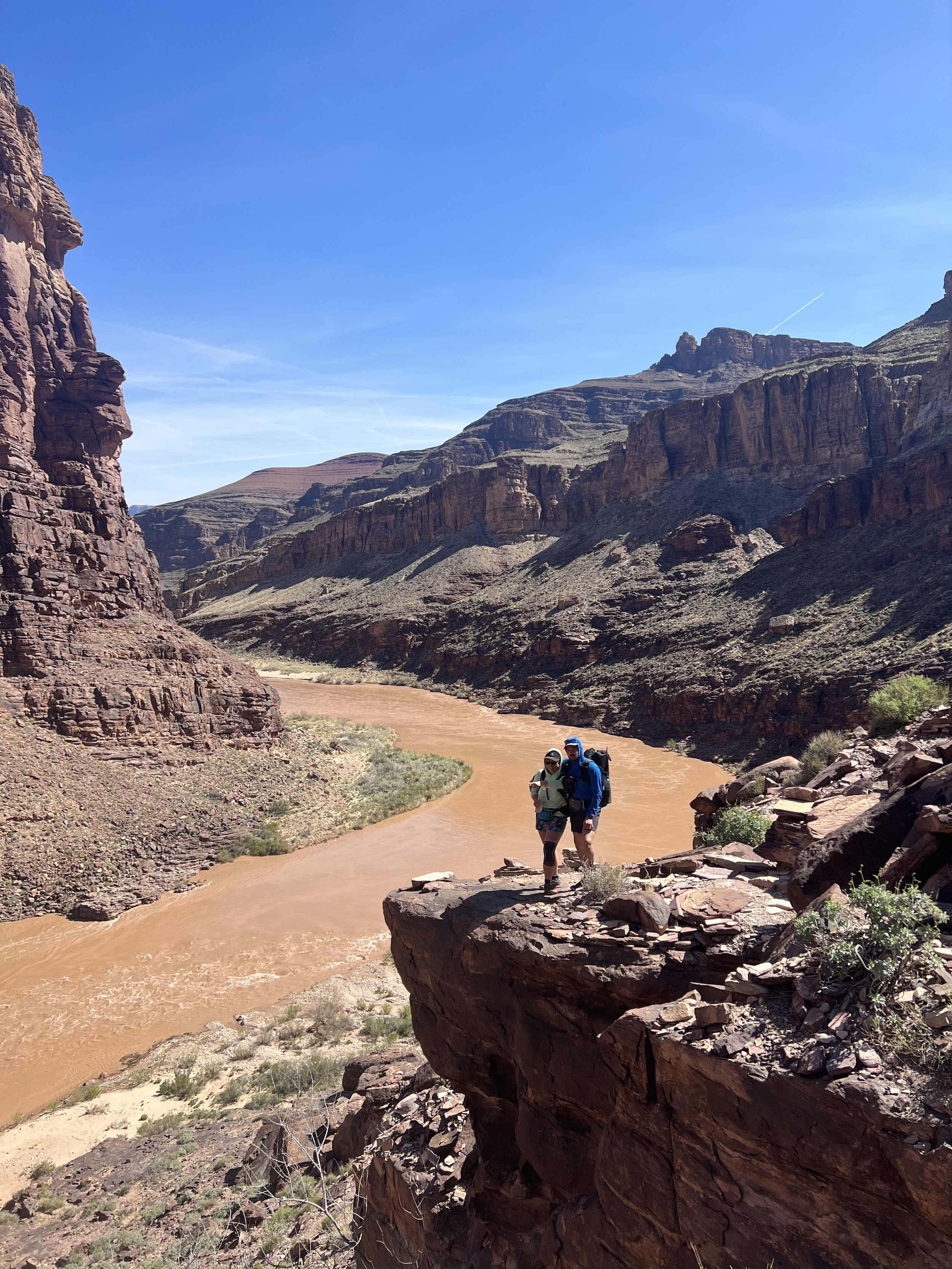
The approximately 32-mile Escalante Route is a one way trek in Grand Canyon National Park. The trek starts and ends on the South Rim of the Grand Canyon and includes over 10 miles of hiking on Escalante Trail along the Colorado River. Overall, the Grand Canyon’s Escalante Route was beautiful and unique. Highlights include the 75 Mile Creek Canyon, a mini-canyon jutting off from the Grand Canyon formed by the Colorado River. Beginning at the Colorado River, we followed the edge of this off-shoot canyon, the trail on the edge of a sheer +100 foot wall to the start of the canyon, 75 Mile Creek, which was a small trickling waterfall. In just about a mile, the mini-canyons floor had risen to meet us about 15 feet below the top of the waterfall. This made a fantastic place to camp and a fun adventure to then climb down the waterfall and back out the bottom of the canyon back to the Colorado River. Other highlights include scaling the Papago Wall, some fun, low-risk Class 3 moves; and navigating the spicy rockfall descent that immediately follows.
Of course, the canyon itself is beautiful and a bucket-list destination. The Escalante Route packs a great value in an accessible route for intermediate to advanced backpackers in 3.5 days - and the myriad of exit options allows you to extend the trip along the Tonto Trail. One of my favorite long weekend destinations in the Grand Canyon, and much less trafficked than the rim-to-rim options.
Day 0
We picked up Dan and Amy in Las Vegas after spending the night in a $30 hotel room - complete with curtains over the bed and a weird mirror/window into the bathroom - and started on our road trip to the Grand Canyon.
Packed tight into our little adventurous Honda Fit, we made it 4 hours later to the park entrance. The plan for our first day was to hike Bright Angel trail from the rim, and it was crowded and beautiful. The trail was a lovely combination of ice, snow and mud for for the first mile or so - packed down tightly by hordes of tourists in sweatpants and sneakers. Our original objective was the Battleship Butte - a quick off-trail and climb to a butte that looks just like a battleship setting sail off of the rim. But given our late start, we didn’t have time to finish it before looking for a dispersed campsite before dark. We did enjoy some off-trail which was fun in such a popular destination.
We weren’t allowed to camp in the park tonight, but a lot of the forest roads we were planning on camping off of were closed as they were covered in snow. Our original plan for camping wasn’t going to be able to work, so we turned around and exited the main gate to the park and back tracked to a forest road we saw was open. A couple miles down that road we found a spot to set up camp next to a few rent-a-camper vans. We set up our picnic blanket, camp chairs and full sized pillows and had ourselves a top tier (but freezing) car camping night.
The next morning, we got up and got through the park. We needed to stage the car so we dropped Dan and Amy off at the Tanner Trail trailhead at the Lippan Point viewpoint. Radio and I headed back to park our car at our exit point and attempted to hitch back to the start. Luckily, we were picked up right away by a lovely couple and met Dan and Amy at the trailhead to begin our descent.
Day 1: Tanner Trail to Tanner Rapids (Colorado River) - 8.6 miles, 4,900 feet of descent
We started down Tanner Trail and quickly realized we needed to put microspikes on for traction on the ice and snow. Tanner Trail is steeper, and less maintained than the popular Bright Angel trail we were on the day before. Vinny and I had forgotten to pack microspikes but luckily Amy and Dan were able to share their pairs with us. We made our way very slowly down the steep, slippery ice with only one good foot of traction, swapping the spikes as we needed to as the switch backs demanded more traction on the downhill foot to keep us from sliding. Getting down the 0.6 miles of ice took us an hour, but finally the snow turned into slush as the canyon warmed. The descent continued to be rocky and steep as we made our way down to the false bottom of the canyon.
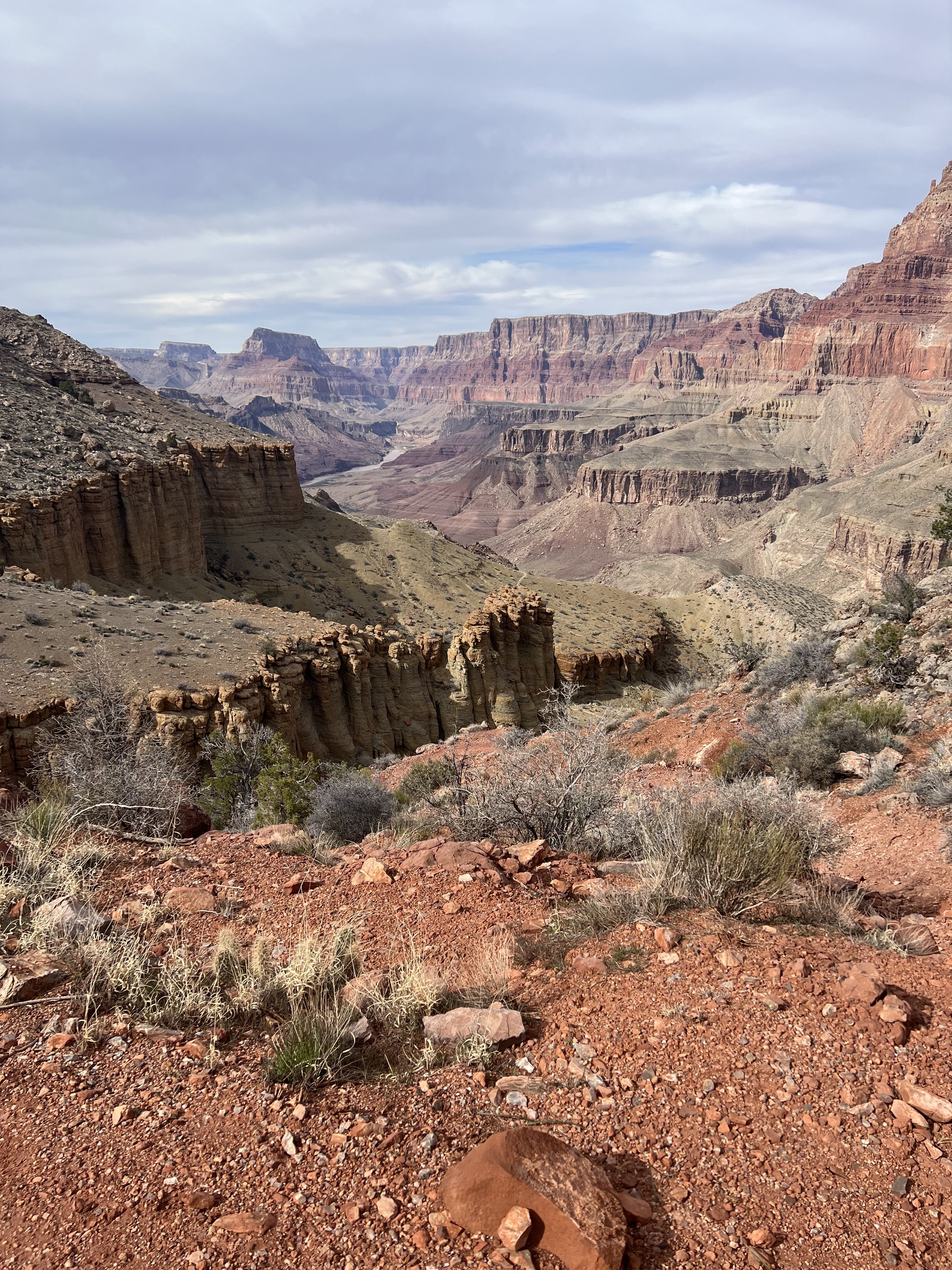
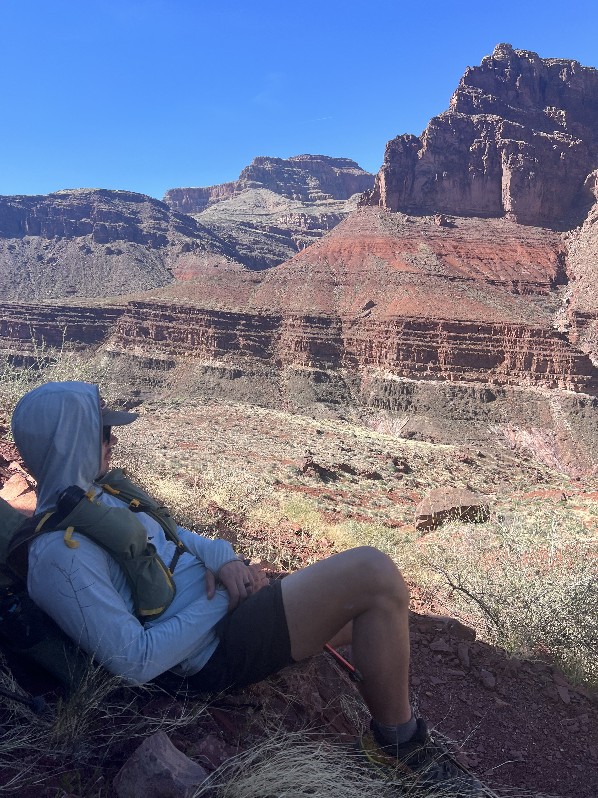
The descent was broken up with long stretches of relatively flat walking, and the views changed with each turn. The rock changed from red to green back to red again, new buttes revealed themselves around every corner.
There were a few great sections of views where we walked along a spine of rock.
When we descended into the river, we found a sandy campsite with a few other groups set up, gathering some good information about the trail ahead. We made our way through the sand and found our own campsite with a private beach. We filtered the silty red water from the Colorado River, first through a bandana to catch the dirt, then through our water filters. This was a slow going process.
For dinner we had a feast of spam in our ramen, which was delightful. The campsite was great, only a few mosquitos and the rushing white noise of the river put us right into a deep sleep under the full moon and stars.
Day 2: Tanner Rapids to 75 Mile Creek - 9.9 miles, 2,300 feet of gain, 2,100 feet of descent
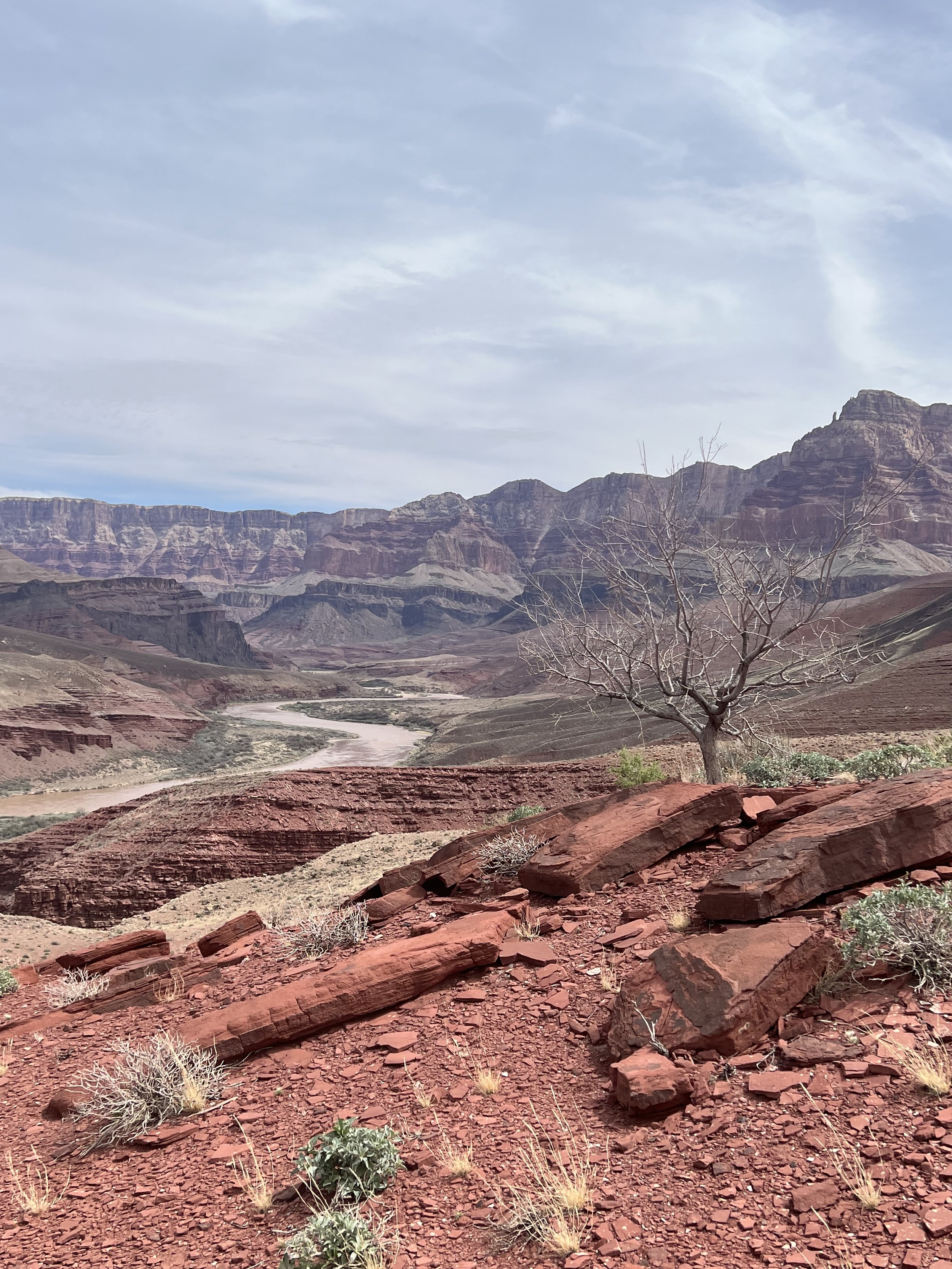
The next day from Tanner Rapids included a lot of elevation - 2,300 feet gained; and 2,100 feet lost. As we contoured around the canyon, it felt like we were constantly going up and down, side-hilling on loose dirt. The views were amazing as we made our way along the river on the Escalante Route.
We got a slow start in the morning needing to slowly filter all of our water before heading out.
The trail expanded before us, cutting hills on the side of the canyon in half. The day got warmer and warmer, and finally we came upon the trickle of Escalante Creek. The cool, running water felt amazing even though there wasn’t much of it. We were able to finally fill our bottles with clear water, not the silt from the river. We could a shady cool spot in the canyon to sit and cool off.
With just a few miles to go to our original campsite, by the time we made it there it was late afternoon. We saw one of the same groups making a cozy camp on a sandy peninsula. We discussed pushing onwards to Neville Rapids, the next sandy campground, which was only about a mile and a half away. However, we’ve been slow going on the unmaintained trail, so we wanted to be sure before moving onward.
Once the group decided, we exited the mouth of the creek and came back along the bank of the canyon. Immediately we were met with great views and a sharp drop off to the river. As we made our way to 75 mile creek, a deep, narrow canyon opened up beneath us, essentially cutting straight down to a sandy bottom hundreds of feet below us. The trail followed the cliff side, and with such steep walks on either side I had no way to imagine how we would cross.
Eventually, the canyon creek floor rose up to meet us. The trail connected where the creek was flowing down a waterfall, which would be our way out back to the beach in the morning.
We soaked our feet in the cook, flowing shallow pools before the waterfall, scoped out the descent for tomorrow, and had dinner once we found some beautiful campsites near the creek. It was nice to not have to filter the silty river water, and we camped under the stars (and bats!).
Day 3: 75 Mile Creek to Red Canyon - 8.8 miles
The morning started out with the climb down the waterfall - setting up multiple angles for Dan’s vlog, of course. We were sad to leave such a fantastic campsite but the walk out of the slot canyon was such a unique and fun experience that we quickly looked forward to what was next.
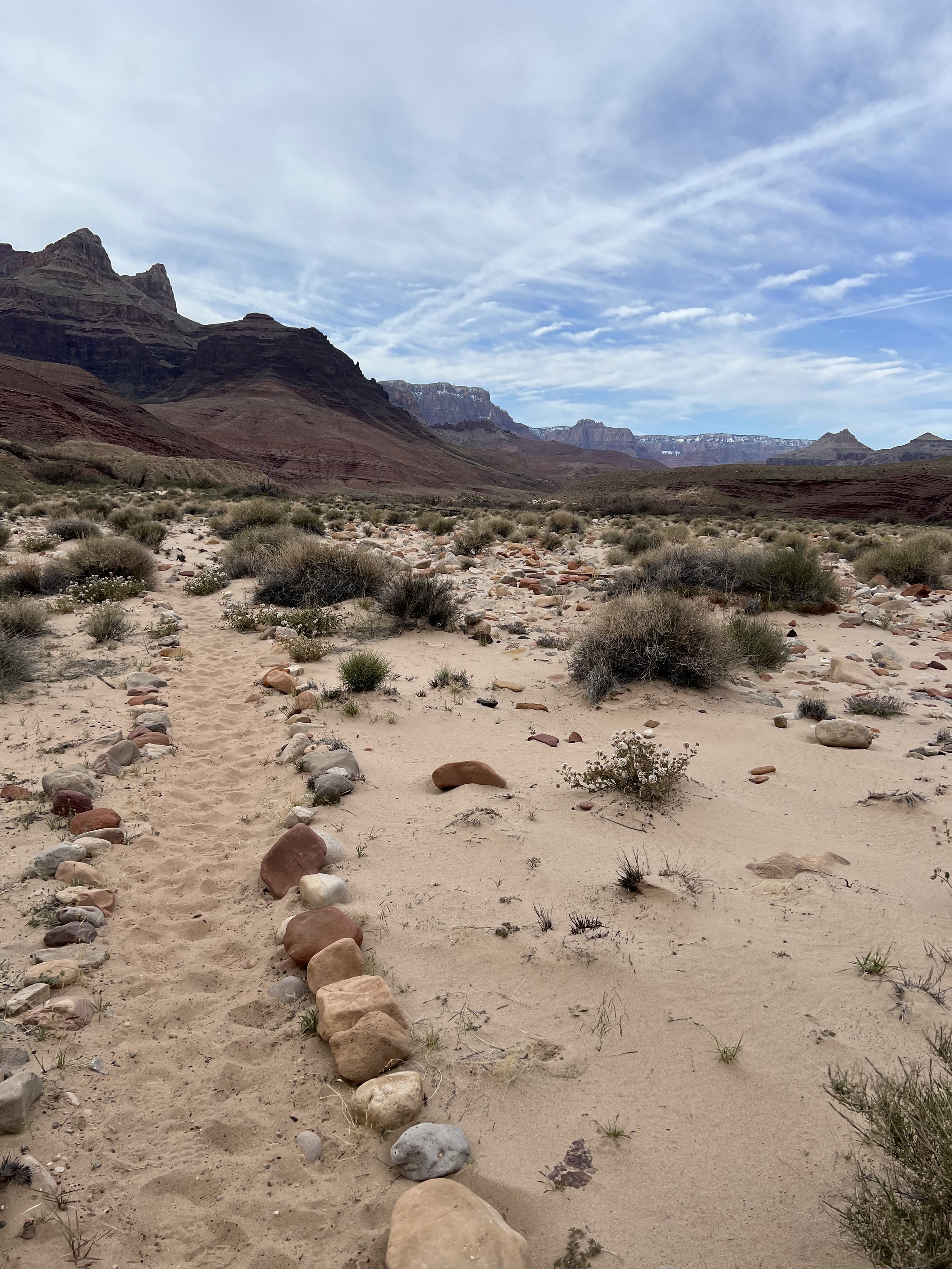
With canyon walls rising dramatically on either side of us, we followed the winding sandy bed of what was a dry creek, eventually making our way to the mouth that fed to the Colorado River.
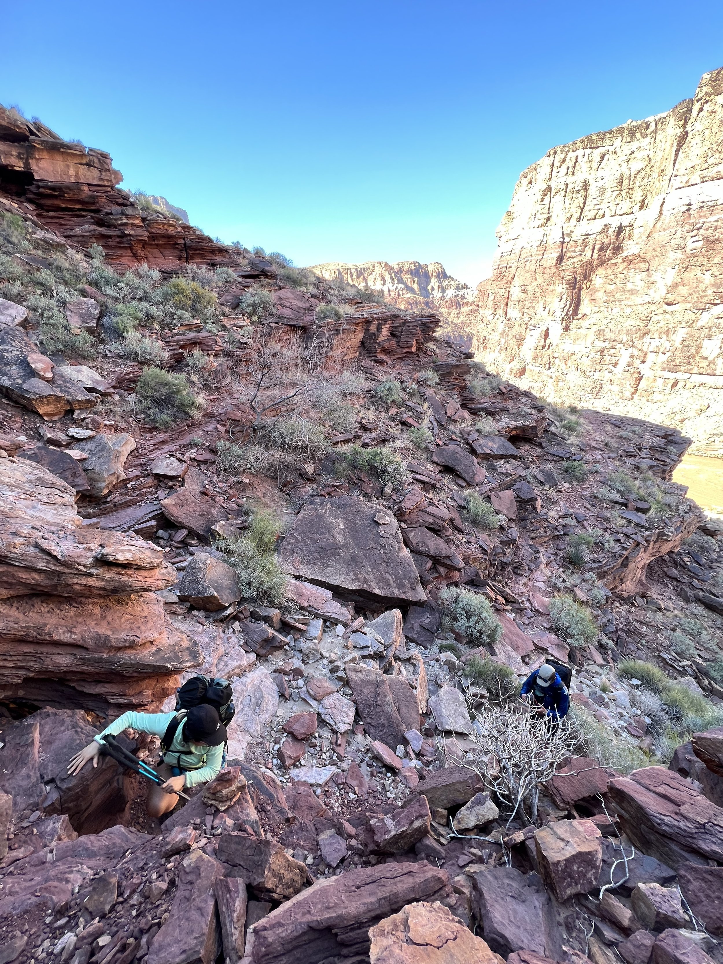
Here, we needed to scale the Papago Wall, a feature that was mentioned in the trip reports some of us had studied beforehand (I showed up without doing any homework - oops). This involved a few Class 3 rock climbing moves but generally, I find climbing upwards easier, and the climb was very low-risk. Amy showed us all up by getting up without a peep, and waving down at us. Radio tried to find a different route, but I followed Amy’s well-thought out climb.
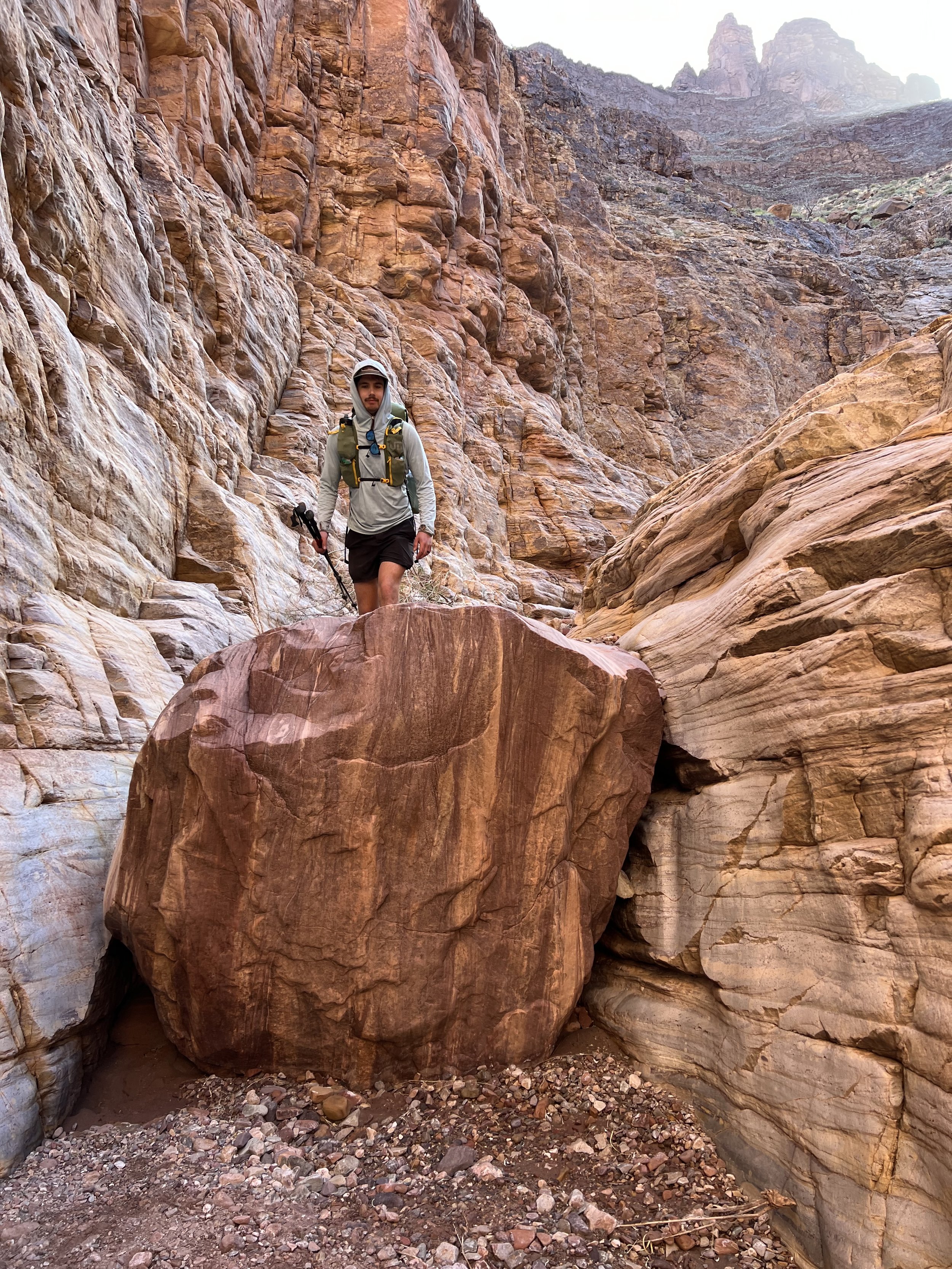
After the wall, we followed the trail a bit - and then quickly realized we were not quite on the right trail. We back-tracked and found ourselves at a significant rock slide, which we needed to descend back down to the river. The loose, unstable rock and sand was not fun to walk on - one wrong move could re-trigger another rock slide. Radio led the way and I followed, with a pit in my stomach. After what felt like ages, we finally made our way down the switchbacks and had a chance to relax. We spaced out our descent to allow for safety in case anyone knocked a rock loose, so we had some time to stretch our legs and eat some gels at the bottom.
Another group of guys that had been on the route with us quickly followed, and shared some new trail intel. We had both been planning to exit the canyon on Grand View trail, but the other group had heard from another hiker that Grand View trailhead was closed due to ice risk - and that it was extremely dangerous. New Hance trail was offered to that hiker as an alternate route. Not ones to easily change our plans, and knowing that Grand Canyon rangers err on the side of extreme caution, we decided we would continue on the Grand View plan. While we did only have two pairs of micro spikes between us, we figured that Tanner Trail was also icy and, objectively, hazardous, and we had successfully down climbed that.
Adding to the confusion, we ran into a group of trail runners that said they just descended Grand View and that it was perfectly fine - maybe 1.5 miles of ice at the top. They mentioned that New Hance was less popular, less maintained, and may have rockfall damage on the trail - but that they had not seen it yet this season.
With all of these conflicting opinions, Dan reached out with his Garmin to folks with internet to help us make a decision - mostly, to determine if Grand View was really closed. After walking about 2 miles in the direction of Grand View, we found out that Grandview was, in effect, closed, and that New Hance seemed to be the better option. I didn’t mind the extra miles needed to back track as our days had been relatively light, so we made our way back in search of another trail rumor we had heard - that there was nice running water and a beautiful campsite about two miles up New Hance Creek. I mentally made that my goal destination for the night.
The two extra miles we did on the Tonto Trail were hot, and frankly, a little lackluster after the dramatic canyon views all week. The late afternoon sun was beating down on us and zapping me of any energy. When we turned around and made our way to the mouth of Red Canyon, we sat at the beach of the river and tried to find pockets of shade as we filtered all of our water to max capacity. The rumor of water further up Hance Creek was just that - a rumor, and worst case scenario we needed water to get us all the way out of the canyon the next day.
Loaded up and slightly rested, we made our way up the sandy mouth of Red Canyon. The wash was cool - we saw some of the biggest rocks ever, and little trickles of running water in the sand. I knew we could push on to better water. For some reason I had a ton of energy to burn and usually, the game that I hate the most - that is, keeping on hiking looking for some mythical “better” campsite - was the one I wanted to play. I wanted to find that site the old guys were talking about.
After nearly 2 miles, we did come upon it. The wash had opened up, which was nice, and the red rocks of the canyon supported a beautiful flowing creek with little pools. Perched above the pools were two tent sites and a perfect dinner party spot. We set up under the stars again and had our last dinner together.
Day 4: Red Canyon to New Hance Trail
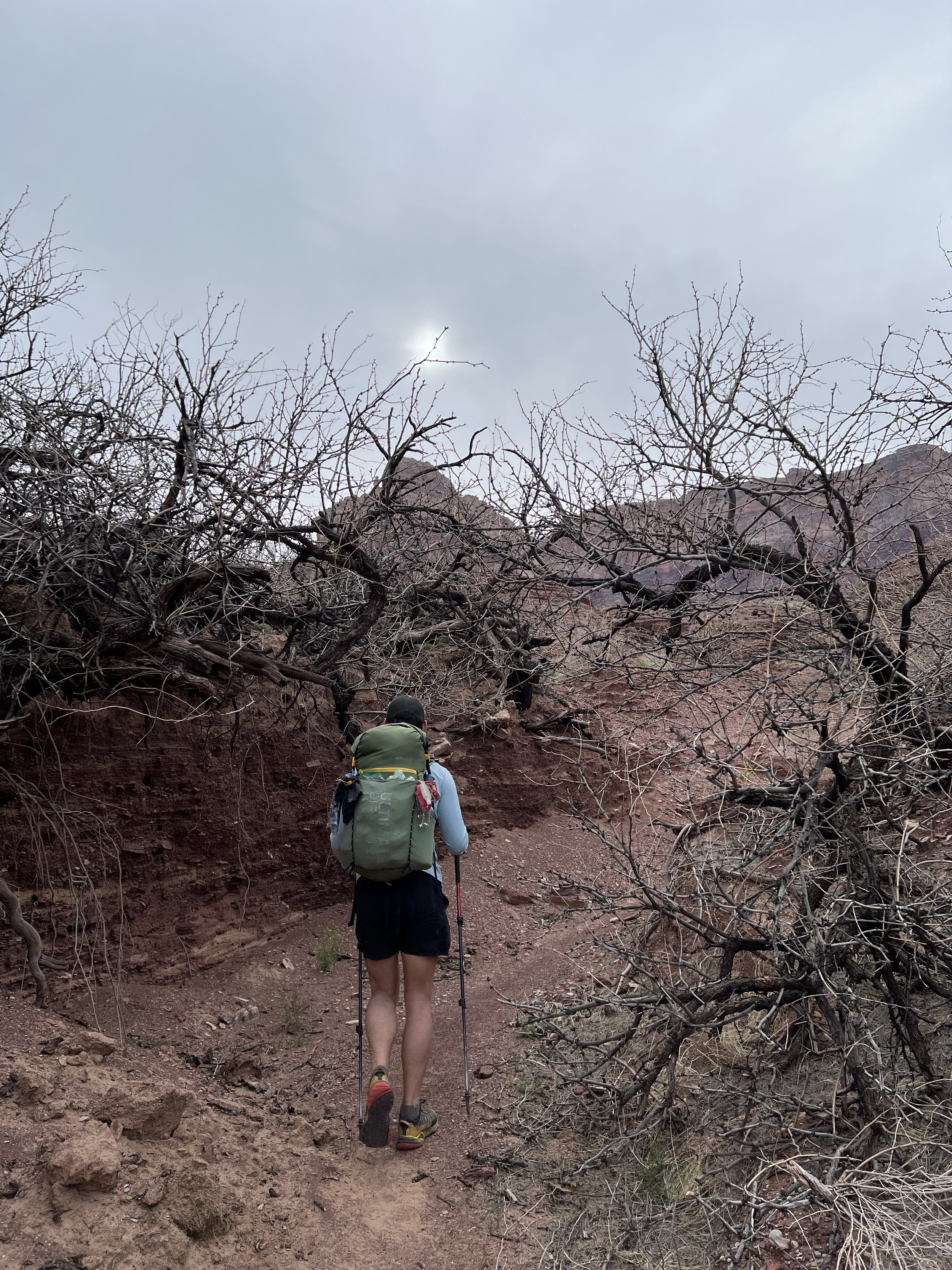
Day 4 was a Monday, and Radio and I needed to be back in Los Angeles that night. Yes, including the 10 hour drive from the canyon. With my “town legs” activated, we continued up the creek and climbed, climbed, climbed, out of the canyon. First, we had to get to the false bottom with beautiful vistas of the canyon behind us. I was so thankful that most of the morning climb was in shade, traumatized from our taste of the Tonto Trail in the blazing afternoon heat.
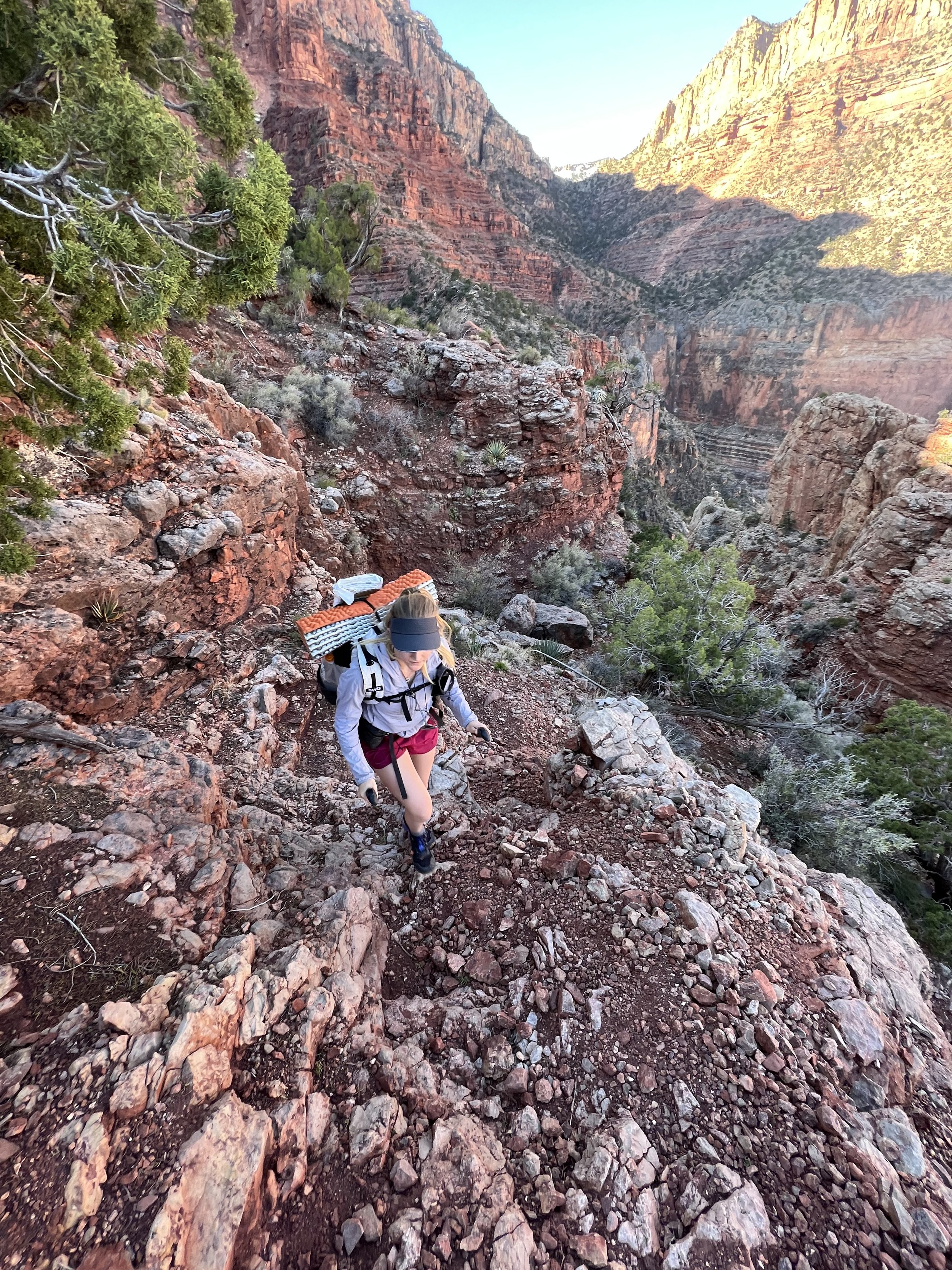
There were a few sections where we needed to navigate rockfall, but overall the trail was in great condition. We definitely made the right call exiting at New Hance.
The climb was unrelenting, but a fantastic workout. As we crept higher and higher, I kept wondering when we might run into snow or ice. Thankfully, there was only one tiny section that had snow, and the steps were cut in so that I didn’t even need to bring out my microspikes. We were really grateful for this as we knew it would make our trip out even quicker.
Eventually, we topped out. The trail was wooded, and there was no parking lot at the trailhead, so we got to work on hitching a ride back to our car at Grand View. Radio hopped in with someone almost immediately, and I sat down and turned on my cell service.
When we got the car back, we re-packed, cleaned ourselves off the best we could, and then Dan and Amy joined us for the roadtrip back to Las Vegas.
Overall, this was a fantastic long weekend trip!


